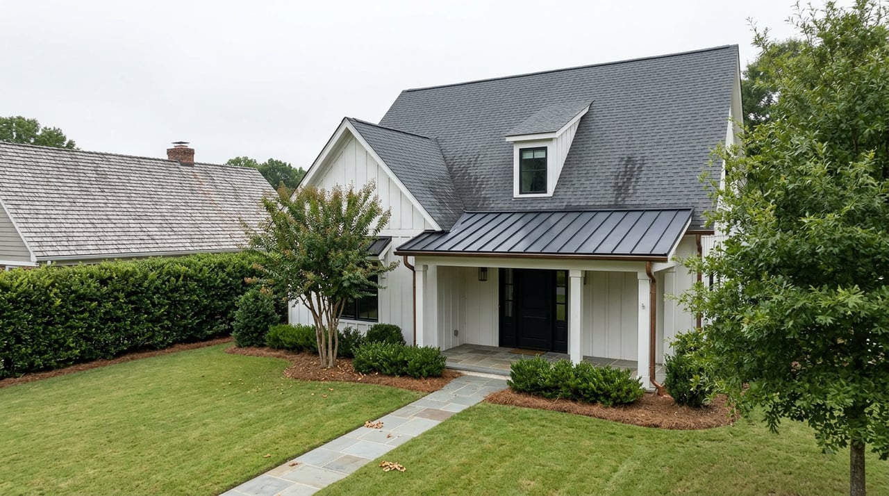
Why Two Houses on the Same Buford Street Can Land in Different School Districts
September 24, 2026
September 24, 2026
At a Buford City Commission meeting, commissioners voted to annex a single parcel on North Bogan Road into the city limits at the request of the property owners. A few items down the same agenda, another vote moved 30.25 acres off New Bethany Road from Hall County's jurisdiction into the city, clearing the way for 22 new single-family homes. These were not sweeping boundary changes. They were one property at a time, decided one meeting at a time, sometimes over the objection of the county losing the land.
That is how Buford's city limits actually took shape, and it matters more than most buyers realize. The line that runs through this city was not drawn once on a master map. It was built parcel by parcel over decades of individual annexation votes, and that history is why a homebuyer comparing two listings on the same street can end up comparing two completely different tax and school situations without any obvious sign of it.
Buford sits across two counties. Most of the city is in Gwinnett County, with a portion in the north extending into Hall County. That much shows up on any map. What doesn't show up as easily is that the city's actual limits, the boundary that determines which school district a parcel is zoned to and whether it owes city property tax on top of county tax, is a patchwork built from individual annexation requests rather than a fixed geographic rule.
The city's own commission meeting records show this pattern repeating. A homeowner at 6224 Mount Salem Circle petitioned to annex 5.41 acres into the city. A separate applicant annexed a parcel at 5530 Little Mill Road. In one case along McEver Road, Hall County formally objected when Buford tried to annex a parcel for light industrial development, and the dispute went to arbitration before Buford's annexation was allowed to proceed. Each of these was decided on its own, based on the specific property, the specific request, and the specific vote that night. None of it followed a straight line on a plat.
That process is still active. It means the boundary between "in the city" and "not in the city" can jog around a single lot, skip a neighbor, or take years to fill in a gap between two annexed parcels. A buyer looking at a street where some homes were annexed in the 1990s and others were never annexed at all is looking at a street where the line runs down the middle of it, invisible on any listing sheet.
Buyers comparing Buford to a neighboring town tend to reach for the numbers that are easiest to find: which county, which ZIP code, what the median price looks like. Those numbers matter, but none of them is the line that actually decides your school district or your full tax bill.
There are three separate boundaries layered on top of each other here, and they don't align:
The county line separates Gwinnett from Hall, but it has nothing to do with city limits. Plenty of unincorporated Hall County land carries a Buford mailing address without ever touching the city.
The ZIP code line is even less useful. Both 30518 and 30519 extend well past the actual city boundary into unincorporated county territory in both Gwinnett and Hall. A "Buford, GA 30518" address tells you almost nothing about whether that parcel is inside the city.
The school attendance boundary, drawn by Buford City Schools, generally follows the annexation-built city limit rather than the county line or the ZIP code. Buford City Schools operates as its own district, separate from Gwinnett County Public Schools and Hall County Schools, and it predates Gwinnett's countywide system by decades, tracing back to when Georgia cities commonly ran their own schools before consolidated county districts became the norm. Because its zoning tracks the city limit rather than any postal or county boundary, and because that city limit was assembled parcel by parcel, two houses on the same road can sit on opposite sides of it.
Being annexed into the city doesn't just change which school a property is zoned to. It adds a layer of taxation that unincorporated county parcels never see. Property inside Buford's city limits pays city millage on top of county millage, a combination that shows up as a real difference in the annual bill compared to a similar home a few hundred feet away that was never brought into the city.
That layering also isn't uniform across the two ZIP codes that cover Buford. Published tax data on Buford properties shows the median effective property tax rate running noticeably higher in 30519 than in 30518, a gap tied to differences in which school and assessment districts overlap which parcels within those ZIP boundaries.
| ZIP Code | Median Effective Property Tax Rate |
|---|---|
| 30518 | 1.11% |
| 30519 | 1.28% |
That table is a useful gut check, but it isn't the full picture either. Both ZIP codes still straddle the city limit, so knowing your ZIP tells you which general tax band you're likely in, not which school district your specific parcel is zoned to or whether you're paying city millage at all. The only way to know that is to check the parcel itself.
This is also, at least in part, why you'll see wildly different figures if you search "Buford median home price" across different trackers. One source put the median closed price at $494,000 across sales tracked over the six months through August 2026. Another put the March 2026 median sold price at $565,000. A third listed September 2026 median asking prices at $550,000. Some of that spread is ordinary noise between data sources and methodologies. Some of it reflects that "Buford" isn't a single, uniform market. It's a collection of parcels with different tax exposure and different school zoning stitched together under one city name, and buyers pricing in confirmed school zoning will pay differently for otherwise similar homes than buyers who aren't factoring it in at all.
None of this is a claim about which side of the line is the better place to live. It's simply the local mechanism that determines two very different cost structures for what can look, on paper, like the same address.
Given how the boundary was built, the only reliable way to confirm where a specific property falls is to check the parcel directly rather than infer it from the address.
Buford City Schools publishes its own boundary and attendance zone maps, and that source, not the listing description and not the mailing address, is the one to check for a specific parcel. The Gwinnett County and Hall County tax assessor offices maintain parcel-level records that will confirm whether a property sits inside city limits and which county millage applies. And because annexation happens property by property, a home that was outside the city last year could be inside it this year, so it's worth confirming current status rather than relying on how a neighbor's house was described two or three years ago.
If you're comparing a Buford listing to something in a neighboring Gwinnett or Hall city, ask the same three questions of both properties: is it inside city limits, which school district is it actually zoned to at the parcel level, and what does the full tax bill look like once city, county, and any applicable school millage are added together. Two homes priced identically on a listing sheet can carry different answers to all three.
Does a Buford mailing address mean the home is zoned to Buford City Schools? Not on its own. Both ZIP codes that cover Buford extend into unincorporated county land outside the city limits, so the mailing address alone doesn't confirm zoning. Check the parcel against Buford City Schools' published boundary maps.
If two homes are on the same street, can they really be zoned differently? Yes. Because the city limit grew through individual annexation votes rather than a single boundary line, it's entirely possible for one property on a street to have been annexed years ago while a neighboring lot was never brought into the city at all.
Can a property's annexation status change after I buy it? Annexation is a property-specific process initiated by owners or the city, and it continues to happen. It's worth confirming current status at the time you're under contract rather than assuming it will stay the same indefinitely.
If you're weighing a Buford property against something across the county line or a few exits up the interstate, this is exactly the kind of parcel-level detail that changes the comparison. Dinu Dariy works this corridor closely enough to check the boundary before you write the offer, not after. Reach out for a free home valuation and a straight answer on where a specific address actually falls.
Stay up to date on the latest real estate trends.




Want an agent who'll really listen to what you want in a home? Need an agent who knows how to effectively market your home so it sells? Give me a call! I'm eager to help and would love to talk to you.